Silvretta: Getschnerspitze - Vallüla
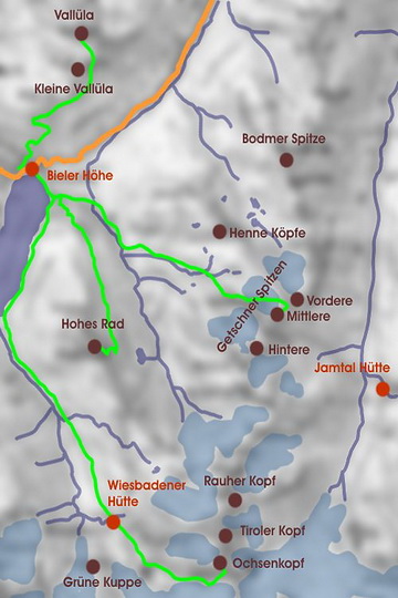
Zentraler Ausgangspunkt für Touren in der Silvretta ist die Bieler Höhe, der mit 2071 m höchste Punkt der Silvretta Hochalpenstrasse. Kurz unterhalb der Passhöhe liegt das Madlener Haus, wo man zu AV Hüttenpreisen übernachten kann. Vallüla und Getschnerspitze sind zwei lohnende, aussichtsreiche Tagestouren, die wir an einem Oktoberwochenende 1989 begangen haben.
The central starting point for many of the Silvretta hikes is 'Bieler Höhe' the highest point of the Silvretta Pass Road at 2071 m. Just below the pass the Madlener Hut (an Alpine Club hut) is situated where you can stay overnight for a moderate price. Vallüla and Getschnerspitze are worthwhile daily hikes which we climbed on a weekend in October 1989.
Mittlere Getschnerspitze (2839 m)
 |
 |
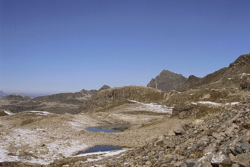 |
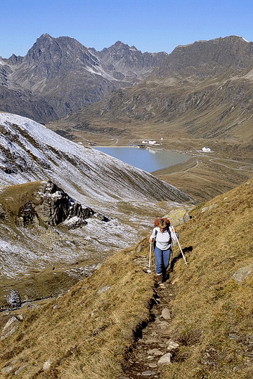
Am Silvrettasee beginnt unsere Wanderung. Im Hintergrund der Hochmaderer (2823 m), ebenfalls eine aussichtsreiche Tour. Durch das Bieltal folgt man zunächst dem Weg zur Getschnerscharte, dem einzigen gletscherfreien Übergang ins Jamtal.
We started our hike at the Silvretta Lake. Behind to the left the summit of Hochmaderer (2823 m) another nice panorama tour. Along the Biel Valley we first followed the path to the Getschner Gap, the only glacier-free traverse into the Jam Valley.
|
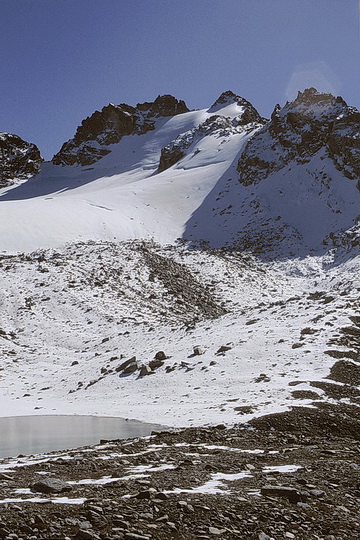
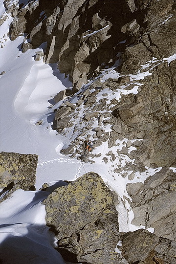
Danach überquert man den kleinen Hennebergferner bis zur Scharte zwischen Vorderer- und Mittlerer Getschnerspitze. Von der Scharte (2839 m) ist die mittlere Spitze leicht zu erreichen, die Vordere Getschnerspitze erfordert Kletterei im III. Schwierigkeitsgrad.
Then we had to cross the small 'Henneberg' glacier until to the gap between Vordere- and Mittlere Getschnerspitze. The central summit can easily be climbed from the gap (2839 m) whereas 'Vordere Getschnerspitze' affords some grade III climbing.
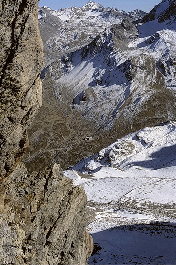 |
Im Tal die Jamtal Hütte.
View down to the Jamtal Hut. |
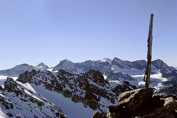 |
Blick vom Gipfel zu Silvrettahorn und Schneeglocke.
Summit view towards Silvrettahorn and Schneeglocke. |
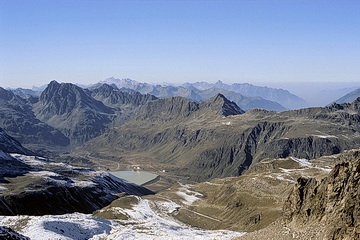 |
Blick ins Rätikon (Scesaplana und Zimba), unten die Bieler Höhe und der Silvrettasee.
View back to Bieler Höhe and the Silvretta Lake, behind the Rätikon Range with Scesaplana and Zimba. |
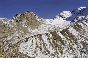 |
Blick zurück zur Mittleren Getschner Spitze und Scharte (rechts).
View back to Mittlere Getschner Spitze and the gap (right). |
Vallüla (2813 m)
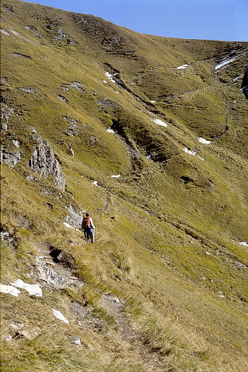 |
Die Vallüla ist der Aussichtsberg der Bieler Höhe und von dort in 3 Stunden zu erreichen. Zunächst folgt man den Wegweisern auf den Maißboden und quert unter der kleinen Vallüla hindurch in Richtung Sattel, der aber nicht betreten wird.
Vallüla is the panorama summit of Bieler Höhe and can be climbed in roughly 3 hours. Following the signs up to 'Maißboden' one traverses below the summit of Little Vallüla towards the saddle. |
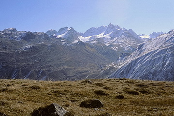 |
Blick nach Süden zum Bieltal und den Getschner Spitzen (links).
View in southern direction: the Biel Valley and 'Getschner Spitzen' (left). |
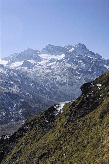 |
Silvrettahorn, Schattenspitze und Klostertaler Egghorn.
|
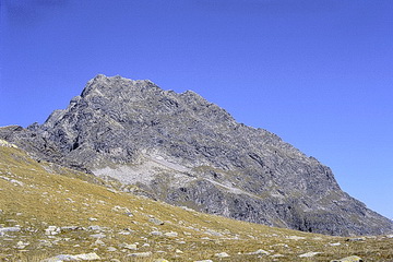 |
Der Vallüla Gipfel auf den ein Steig durch eine etwas unangenehme Rinne führt (leichte Kletterei I - II, deutliche Spuren).
The summit of Vallüla which is reached through a slightly unpleasant groove (climbing grade I - II but significant tracks). |
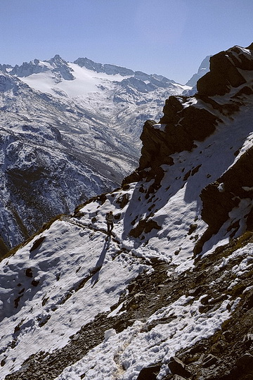
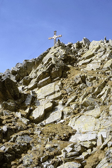
Von hier aus folgt man den Markierungen über den Nordgrat zum Gipfel.
From now on just follow the marks across the north ridge until to the summit.
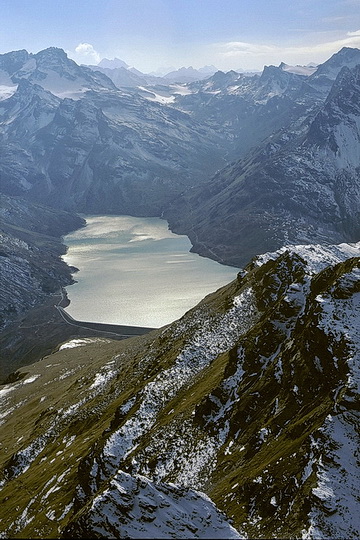 |
Blick über den Silvrettasee zum Piz Linard, ganz im Hintergrund der Piz Kesch im Schweizer Engadin.
The Silvretta Lake with Piz Linard, in the background Piz Kesch (Switzerland - Engadin) is visible.
|
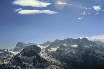 |
Eindrucksvoller Gipfelblick in die zentrale Silvretta. Im Vordergrund das Hohe Rad, dahinter Piz Buin, Silvrettahorn und Schneeglocke sowie Piz Linard ganz rechts.
On the summit we had an impressive overview of the central Silvretta range. From left to right: Piz Buin, Hohes Rad (foreground), Silvrettahorn, Schneeglocke as well as Piz Linard (right behind). |