Nordnorwegen: Andøya
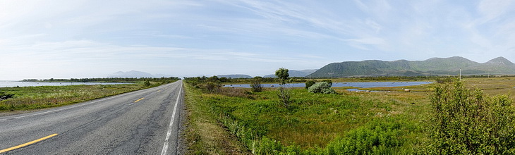
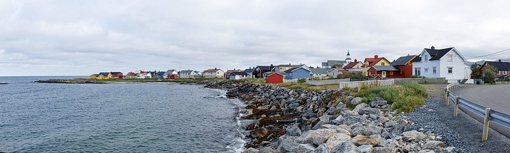
Viel Verkehr gibt es nicht auf Andøyas Straßen, auf denen wir zunächst an der Ostküste entlang nach Süden fahren.
There is not much traffic as we are driving along the south coast of Andøya.
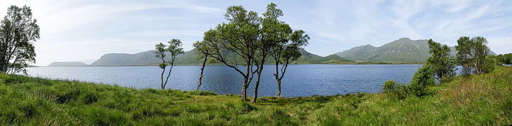
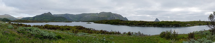
Am nordwestlichen Ufer des Ånesvatnet.
Tthe north-western shore of Ånesvatnet.
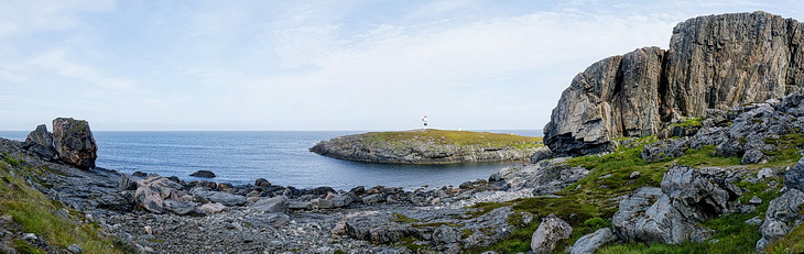
Der Leuchtturm auf der Halbinsel Børhella an der Westküste von Andøya.
The Lighthouse of Børhella peninsula on the west coast of Andøya.
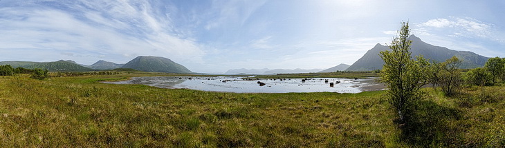
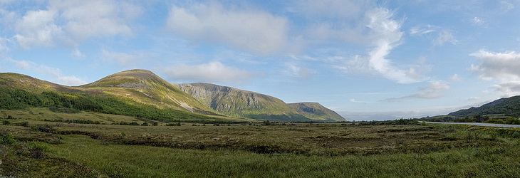
Eine Moorlandschaft trennt den Nord- und Südteil von Andøya (Stor Orkleiva - 557 m).
A moory landscape is separating the northern from the southern part of Andøya (Stor Orkleiva - 557 m).
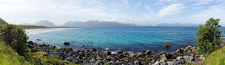
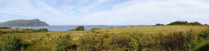
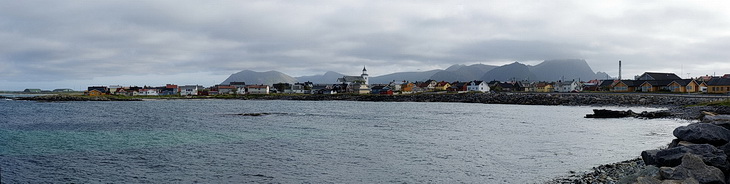
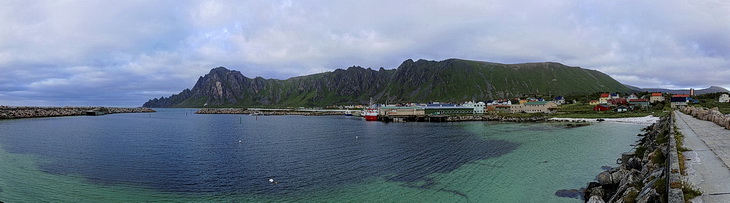
An der Südspitze von Andøya bei Skjoldehamn mit Blick auf Langøya.
The south tip of Andøya near Skjoldehamn: View towards Langøya.
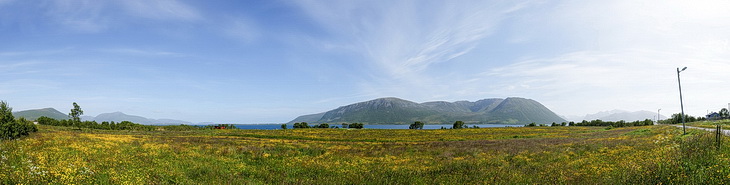
Immer wieder verblüffend: Die üppige Blütenpracht jenseits des Polarkreises.
Always an amazing sight: the lush bloom of the meadows beyond the Polar Circle.
Die abendliche Skyline von Andenes.
Evening skyline of Andenes.
Ein abendlicher Ausflug entlang der Nordwestküste nach Bleik mit einem kurzen Abstecher zum See Bleiksvatnet.
An evening trip along the north-western coast to Bleik including a short side trip to lake Bleiksvatnet.
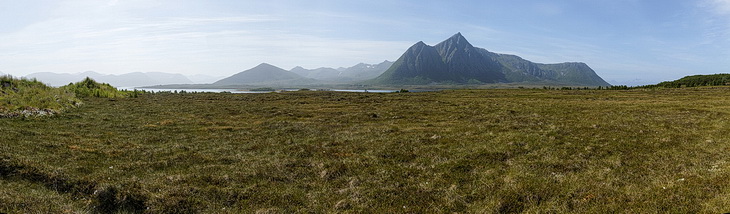
Die bis zu 500 m hohen Berge im Norden Andøyas erinnern an die Cairngorns in Schottland (Høgtinden - 488 m).
The hills in the northern part of Andøya are up to 500 m high and somehow reminding of the Cairngorns in Scotland (Høgtinden - 488 m).
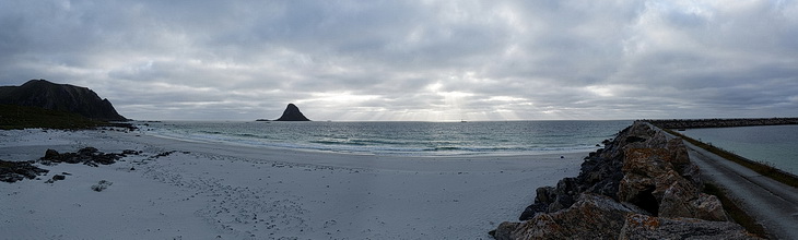
Strand und Hafen von Bleik.
Beach and harbour of Bleik.
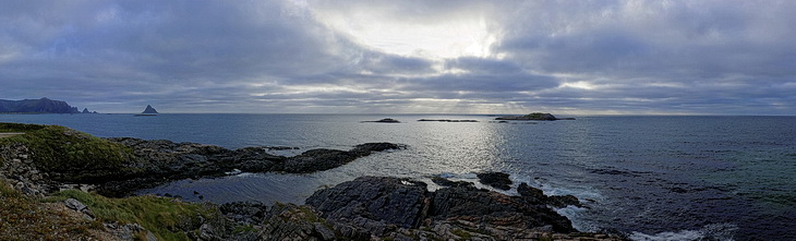
Aussichtspunkt Kleivodden westlich von Andenes.
Kleivodden a lookout west of Andenes.